File:OS Folly Point 1901.JPG
From SVR Wiki
Size of this preview: 560 × 600 pixels. Other resolutions: 224 × 240 pixels | 746 × 799 pixels.
Original file (746 × 799 pixels, file size: 110 KB, MIME type: image/jpeg)
Summary
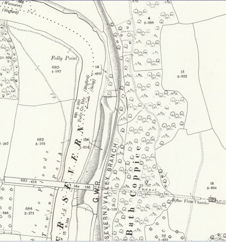
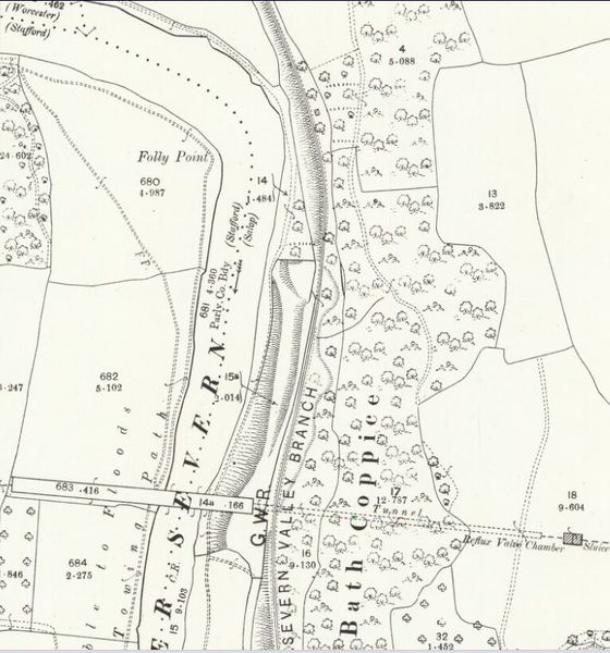
OSOrdnance Survey Map of Worcestershire 1901 showing Folly Point and the Elan Valley Aqueduct. A temporary siding for use by contractors was in place at this time but was not shown on this version of the OSOrdnance Survey map.
Licencing
This image is derived from an original Ordnance Survey Map held on the National Library of Scotland Map Images Website.
Reproduced with the permission of the National Library of Scotland under the terms of the Creative Commons Attribution-NonCommercial-ShareAlike (CC-BY-NC-SA) licence.
File history
Click on a date/time to view the file as it appeared at that time.
| Date/Time | Thumbnail | Dimensions | User | Comment | |
|---|---|---|---|---|---|
| current | 15:53, 30 November 2018 | | 746 × 799 (110 KB) | Robin (talk | contribs) | OS Map of Worcestershire 1901 showing Folly Point and the Elan Valley Aqueduct. A temporary siding for use by contractors was in place at this time but was not shown on this version of the OS map. |
- You cannot overwrite this file.
File usage
The following 2 pages link to this file: