File:OS Berrington 1888.JPG
From SVR Wiki
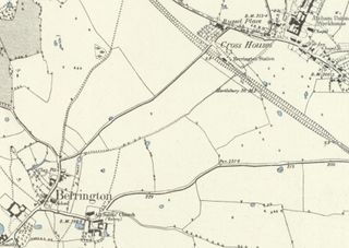
Size of this preview: 800 × 567 pixels. Other resolutions: 320 × 227 pixels | 878 × 622 pixels.
Original file (878 × 622 pixels, file size: 88 KB, MIME type: image/jpeg)
Summary
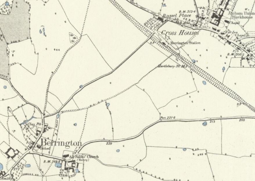
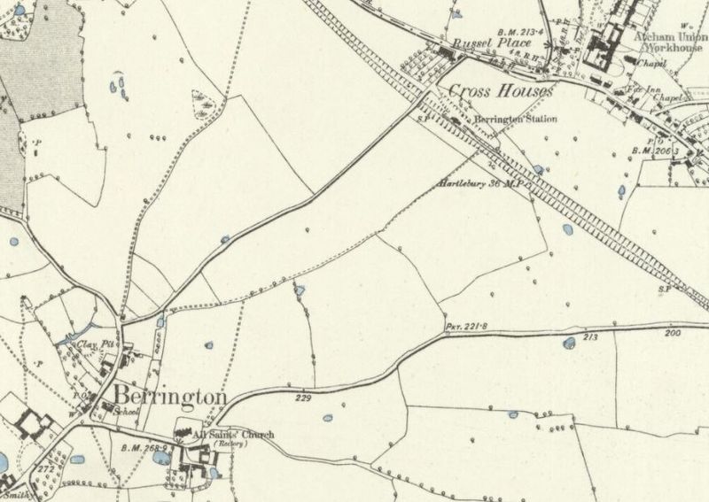
1888 OSOrdnance Survey Map (surveyed 1881) showing the proximity of Berrington Station to the villages of Berrington and Cross Houses.
Licencing
This image is derived from an original Ordnance Survey Map held on the National Library of Scotland Map Images Website.
Reproduced with the permission of the National Library of Scotland under the terms of the Creative Commons Attribution-NonCommercial-ShareAlike (CC-BY-NC-SA) licence.
File history
Click on a date/time to view the file as it appeared at that time.
| Date/Time | Thumbnail | Dimensions | User | Comment | |
|---|---|---|---|---|---|
| current | 17:06, 16 March 2020 | | 878 × 622 (88 KB) | Robin (talk | contribs) | 1888 OS Map (surveyed 1881) showing the proximity of Berrington Station to the villages of Berrington and Cross Houses. |
- You cannot overwrite this file.
File usage
The following page links to this file: