Difference between revisions of "File:View from Stourport Road Bridge 20160515.jpg"
From SVR Wiki
(A view in 2016 from Stourport Road Bridge looking east (towards Kidderminster in the direction of travel). The grass area to the right was the former sidings for the British Sugar Corporation factory at Foley Park. The later Foley Park Halt was located...) |
(No difference)
|
Latest revision as of 13:20, 17 July 2017
Summary
A view in 2016 from Stourport Road Bridge looking east (towards Kidderminster in the direction of travel). The grass area to the right was the former sidings for the British Sugar Corporation factory at Foley Park. The later Foley Park Halt was located to the left of the line in the foreground.
Licencing
I, the copyright holder of this work, hereby publish it under the following license:
This work is licensed under the Creative Commons Attribution-ShareAlike 3.0 License.
File history
Click on a date/time to view the file as it appeared at that time.
| Date/Time | Thumbnail | Dimensions | User | Comment | |
|---|---|---|---|---|---|
| current | 13:20, 17 July 2017 | 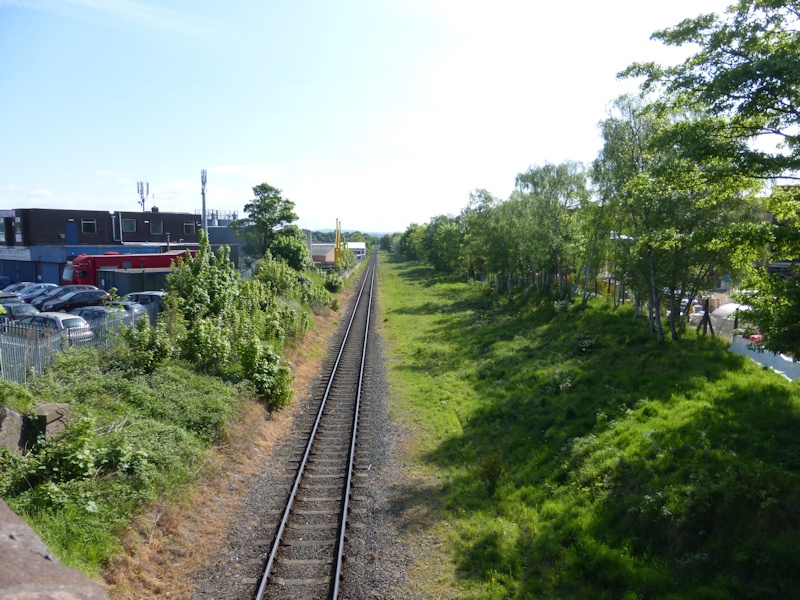 | 800 × 600 (226 KB) | Robin (talk | contribs) | A view in 2016 from Stourport Road Bridge looking east (towards Kidderminster in the direction of travel). The grass area to the right was the former sidings for the British Sugar Corporation factory at Foley Park. The later Foley Park Halt was located... |
- You cannot overwrite this file.
File usage
The following 2 pages link to this file: