File:Hampton Loade 1903 map.jpg
Jump to navigation
Jump to search
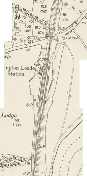
Size of this preview: 296 × 599 pixels. Other resolution: 593 × 1,201 pixels.
Original file (593 × 1,201 pixels, file size: 175 KB, MIME type: image/jpeg)
Summary[edit | edit source]
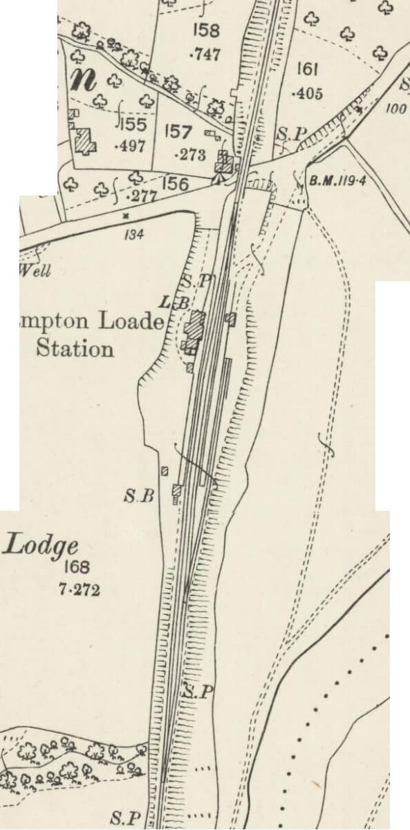
Ordnance Survey 1:2500 map of Hampton Loade published in 1903
Reproduced with the permission of the National Library of Scotland for non-commercial, educational and private purposes under the terms of the Creative Commons Attribution-NonCommercial-ShareAlike (CC-BY-NC-SA) licence
Licencing[edit | edit source]
The copyright holder has given permission for use of this image on the SVR Wiki.
It may not be used for any other purpose without explicit permission from the copyright holder.
If possible, this image should be replaced by one using a free license.
File history
Click on a date/time to view the file as it appeared at that time.
| Date/Time | Thumbnail | Dimensions | User | Comment | |
|---|---|---|---|---|---|
| current | 10:14, 7 December 2018 | | 593 × 1,201 (175 KB) | Graham Phillips 110 (talk | contribs) | Forgot to crop it |
| 09:47, 7 December 2018 | 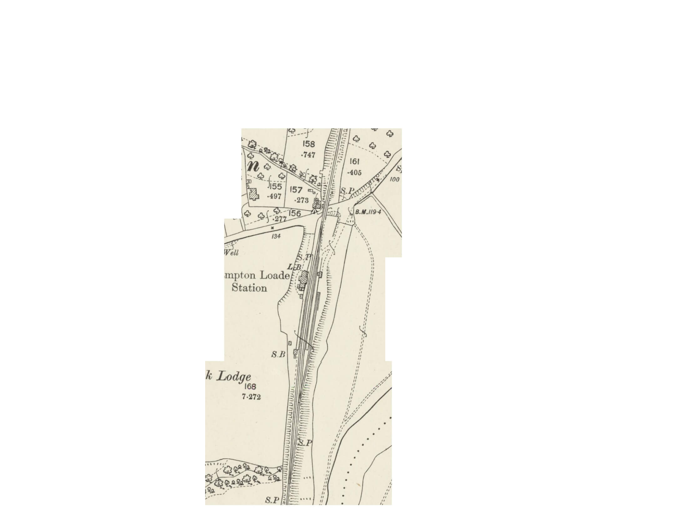 | 2,232 × 1,652 (83 KB) | Graham Phillips 110 (talk | contribs) | Ordnance Survey 1:2500 map of Hampton Loade published in 1903<br> Reproduced with the permission of the [https://maps.nls.uk/index.html National Library of Scotland] for non-commercial, educational and private purposes under the terms of the [https://c... |
You cannot overwrite this file.
File usage
The following 2 pages use this file: