File:Kidderminster Junction OS 1250.jpg
Original file (755 × 670 pixels, file size: 171 KB, MIME type: image/jpeg)
Summary[edit | edit source]


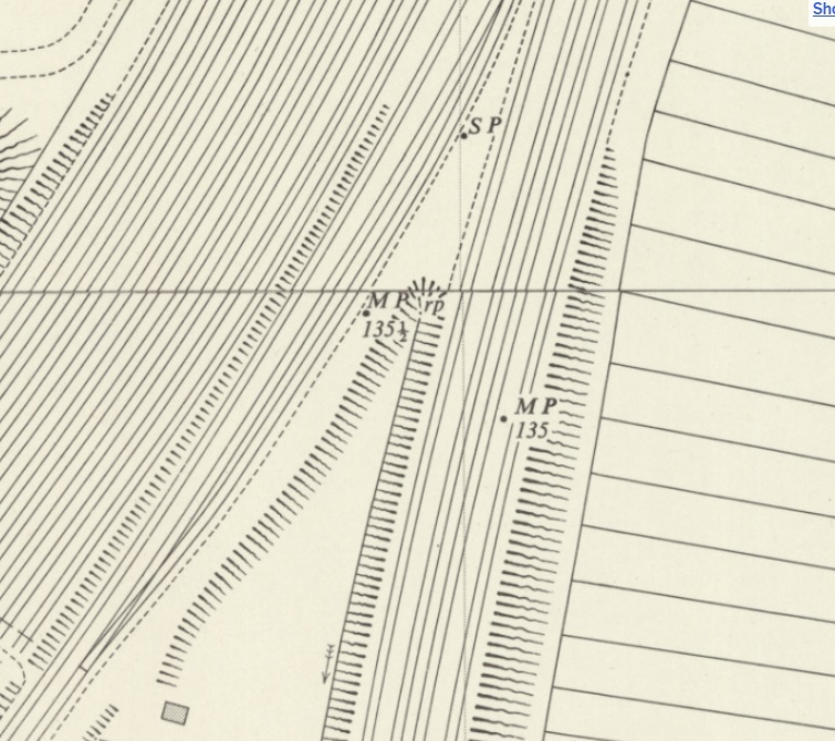
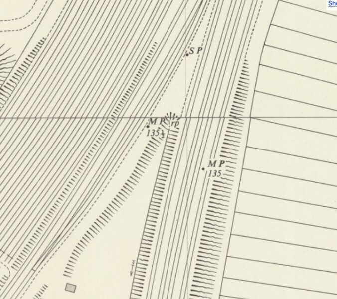
Extract from the 1953 OS 1:1250 Map of Kidderminster Junction. The location of mileposts (MP) 135 and 1351/2 can be seen on the Loop Line to Bewdley (left) and the main line to Hartlebury (right). SP denotes a Signal Post and rp is a reference point.
Map sourced from National Library of Scotland. See maps.nls.uk for zoomable, scrollable version.
Licensing[edit | edit source]


This image is derived from an original Ordnance Survey Map held on the National Library of Scotland Map Images Website.
Reproduced with the permission of the National Library of Scotland under the terms of the Creative Commons Attribution-NonCommercial-ShareAlike (CC-BY-NC-SA) licence.
File history
Click on a date/time to view the file as it appeared at that time.
| Date/Time | Thumbnail | Dimensions | User | Comment | |
|---|---|---|---|---|---|
| current | 15:34, 12 October 2026 | | 755 × 670 (171 KB) | Graham Phillips 110 (talk | contribs) | Extract from the 1953 OS 1:1250 Map of Kidderminster Junction. The location of mileposts (MP) 135 and 135<span style="vertical-align:super;font-size:x-small">1</span>/<span style="vertical-align:sub;font-size:x-small">2</span> can be seen on the Loop Line to Bewdley (left) and the main line to Hartlebury (right). SP denotes a Signal Post and rp is a reference point. Map sourced from National Library of Scotland. See [https://maps.nls.uk/geo/explore/#zoom=18.9&lat=52.37722&lon=-2.24304&layers... |
You cannot overwrite this file.
File usage
The following page uses this file:
