Wilden Sand Siding
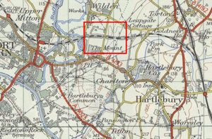
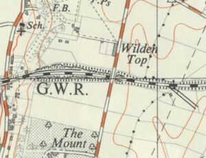
A sand quarry was located at Wilden, between Hartlebury and Stourport, served by a siding on the Severn Valley Railway.
Contents
Early history
The Severn Valley Railway ran through a sandstone ridge at Wilden Top, around ¾ mile from Stourport. The railway could have passed through this via a tunnel as elsewhere on the line, but a large amount of spoil was required for a nearby embankment. As a result one of the largest cuttings on the line was constructed, around a third of a mile long and up to 60 ft deep. Unusually, a tunnel was first driven and laid with rails, then the ground above was dug away and dropped down shafts into wagons.[1]
Sand Quarry siding
A large sand quarry was situated north of the cutting. A ground frame, locked by the section token, controlled access to the siding. After the quarry closed, the siding was used to store coal wagons waiting to enter Stourport Power Station .[2]
See also
References
- ↑ Marshall (1989) p. 41.
- ↑ Marshall (1989) p. 87.

