File:OS Coundlane 1927.jpg
From SVR Wiki
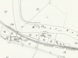
Size of this preview: 800 × 592 pixels. Other resolutions: 320 × 237 pixels | 915 × 677 pixels.
Original file (915 × 677 pixels, file size: 303 KB, MIME type: image/jpeg)
Summary
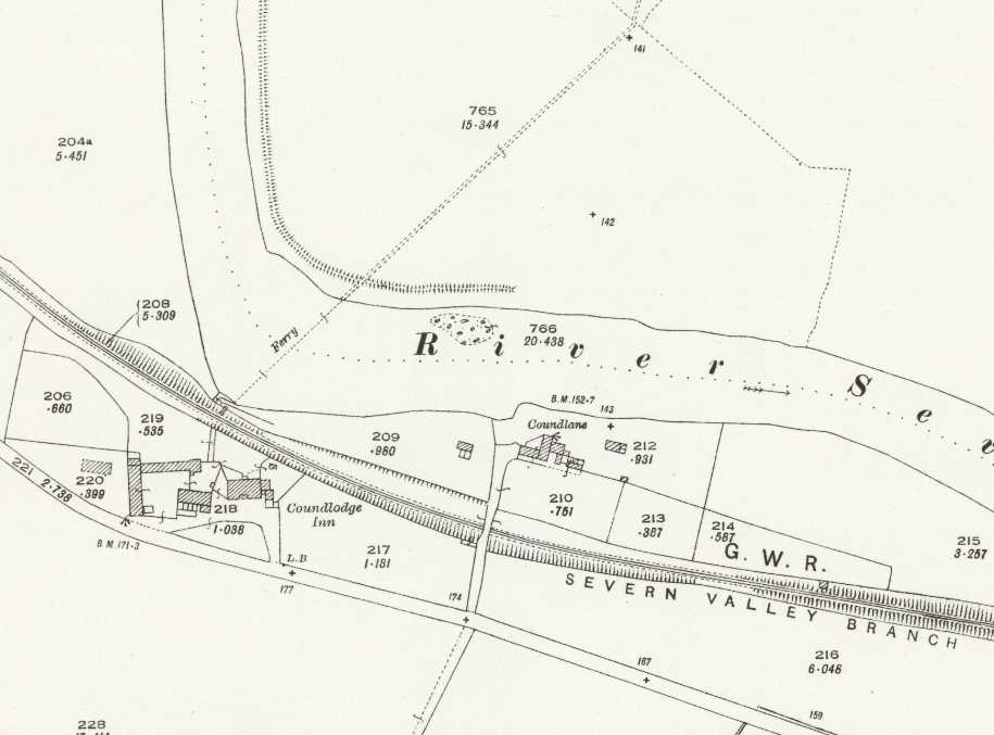
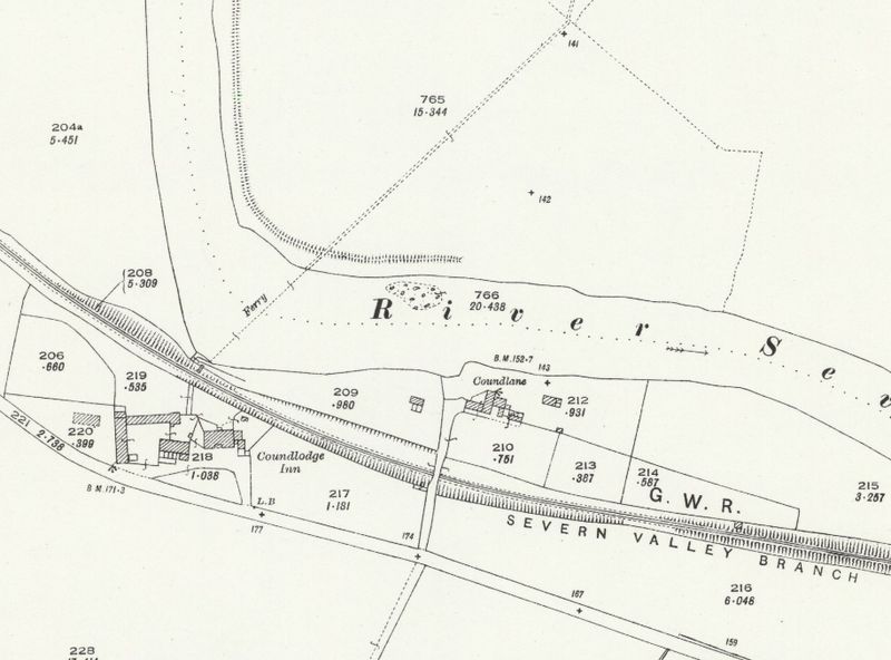
OSOrdnance Survey Map of 1927 showing the area around Coundlane, the future location of Cound Halt.
Licencing
This image is derived from an original Ordnance Survey Map held on the National Library of Scotland Map Images Website.
Reproduced with the permission of the National Library of Scotland under the terms of the Creative Commons Attribution-NonCommercial-ShareAlike (CC-BY-NC-SA) licence.
File history
Click on a date/time to view the file as it appeared at that time.
| Date/Time | Thumbnail | Dimensions | User | Comment | |
|---|---|---|---|---|---|
| current | 14:39, 6 September 2021 | | 915 × 677 (303 KB) | Robin (talk | contribs) | OS Map of 1927 showing the area around Coundlane, the future location of Cound Halt. |
- You cannot overwrite this file.
File usage
The following page links to this file: