Maps
Contents
Schematic Map of the preserved SVR
|
|
Schematic maps of the pre-closure SVR
Map 1 - Shrewsbury to Hartlebury
|
|
Map 2 - Woofferton to Kidderminster
|
|
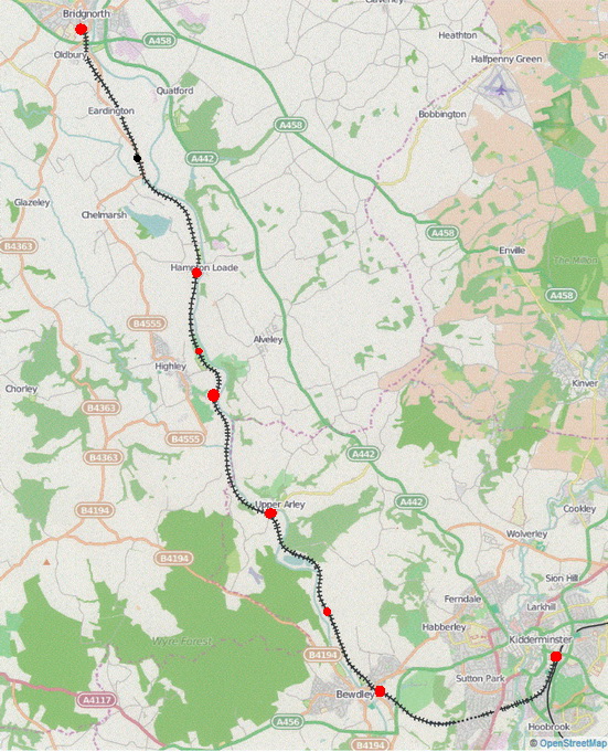
Geographic map of the preserved SVR
Click on any station or station name to go to that station's page.